Prison camps · North Hamgyong Province
Camp 16, Hwasong
16호 화성 관리소
Camp 16 in Hwasong County, North Hamgyong Province, covers approximately 560 square kilometers, making it the geographically largest known detention facility in North Korea. Located in high mountain valleys near the Punggye-ri nuclear test site, satellite imagery indicates active forestry, agriculture, and mining operations staffed by an estimated 20,000 political prisoners.
Open on the intel map Myonggan county How the camp system works
Satellite watch
Captured 8 Oct 2026Our own images of this 7.7 km square from the European Copernicus Sentinel-2 satellites: the newest clear picture, and the clearest one from each of the last 24 months. One pixel is 10 m, enough to see roads, fields, ponds and large buildings, not people.
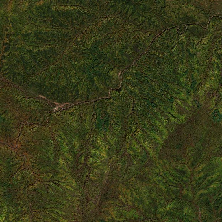
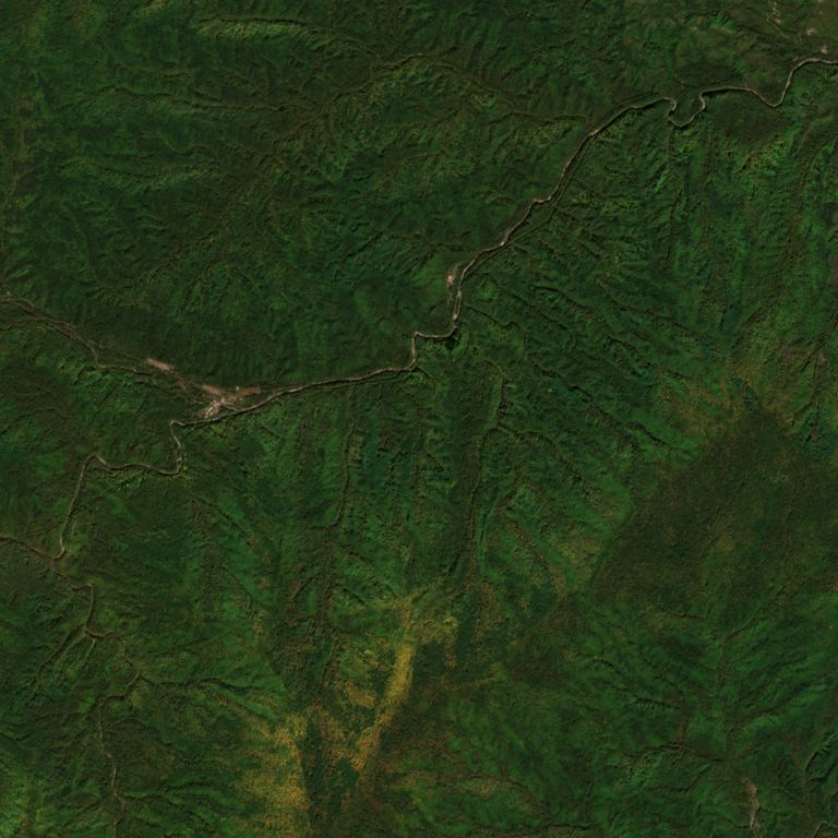
Pick a month to compare with the latest image
We pick each image by measuring cloud inside this square from the satellite’s own scene classification. Months with no clear image are left out. We do not mark or interpret anything in the pictures. The ring marks the point on our map.
Contains modified Copernicus Sentinel data 2024-2026 · Copernicus Data Space · Sentinel-2 L2A COGs (AWS)
Crimes against humanity
Whole families are sent to kwanliso without trial under guilt by association (yeonjwa-je). The 2014 UN Commission of Inquiry found these crimes in the political prison camps:
- Extermination
- Murder
- Enslavement
- Torture
- Imprisonment
- Rape
- Forced abortion
- Persecution
- Enforced disappearance