Pyongsan uranium mill
Mines and processes uranium ore into yellowcake, the raw material for the enrichment program.
Satellite watch
Captured 11 Oct 2026Our own images of this 5.1 km square from the European Copernicus Sentinel-2 satellites: the newest clear picture, and the clearest one from each of the last 24 months. One pixel is 10 m, enough to see roads, fields, ponds and large buildings, not people.
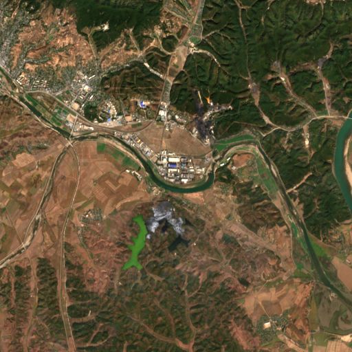
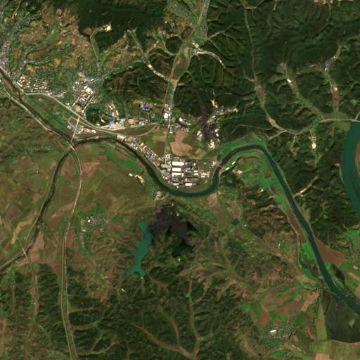
Pick a month to compare with the latest image
We pick each image by measuring cloud inside this square from the satellite’s own scene classification. Months with no clear image are left out. We do not mark or interpret anything in the pictures. The ring marks the point on our map.
Contains modified Copernicus Sentinel data 2024-2026 · Copernicus Data Space · Sentinel-2 L2A COGs (AWS)
Source

More nuclear sites
 NuclearYongbyon nuclear complex
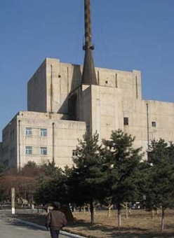
The heart of the nuclear program: reactors that make plutonium, a reprocessing plant and a uranium enrichment hall.
© Esri, Maxar NuclearKangson enrichment site
Suspected covert uranium enrichment plant near Pyongyang. Kim Jong Un visited an enrichment facility in 2024 in a rare public photo-op.
 NuclearPunggye-ri nuclear test site
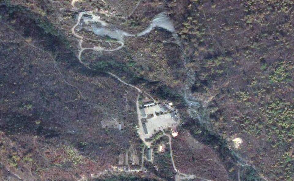
All six nuclear tests (2006-2017) happened here. Tunnels were blown up for cameras in 2018, then repaired.